

Tallinn launched Digital Transport Model to improve Urban Planning
Estonia is one of the leading digital economies in the world and has one of the highest numbers of startups per capita in the world. The country also takes a lead to implement innovative solutions.
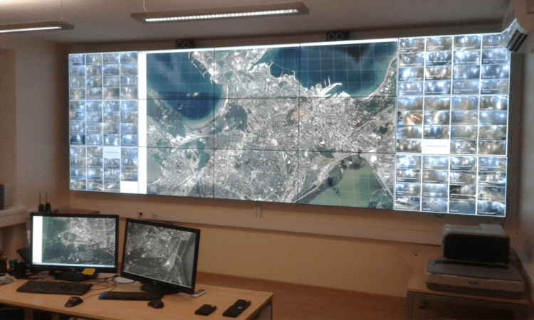
Tallinn, the capital city of Estonia, launched a new Digital Transport Model to improve urban planning. The model incorporates all the mobility data available to the city, including the results of social surveys carried out in the city over the last five years as well as the road network and traffic frequencies. The model will collate data from 130,000 different road sections and more than 12,000 nodes. The data will be constantly updated and takes into account the movement of cars, public transport, lorries, and pedestrians.

This innovative model can be used for several specific endeavors, like:
- Evaluating the effect of development areas on transport infrastructure
- Predicting the load on the city’s transport infrastructure
- Assess the need for expanding public transport systems
The digital transport model will predict transport problems and understand their causes and make decisions that support the overall development of the city and anticipate the effects of decisions to be taken. The model can distinguish between 12 different types of user groups, including students, workers, and pensioners. Further, the model will take into account complex movement patterns such as whether a person takes children to school on the way to work. The system is developed by Tallinn Transport Authority in conjunction with PTV Group.
The city of Tallinn has a population of around 440,000, with metro almost 550 thousand. In 2013, it became the first city in the world to offer free public transport. The city of Tallinn has built the city dashboard (dashboard.tallinn.ee) for continuous data management. The dashboard serves online data from the various databases, including incl operational information, urban planning, traffic management tools, and statistics portal.